01 / DRONE SERVICES
Drone mapping · 2D / 3D
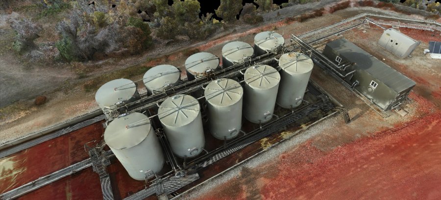
Custom terrain maps and 3D models for sites, buildings, tanks, and facilities. Bring location and asset details into a view your team can use.
Discuss a project ↗
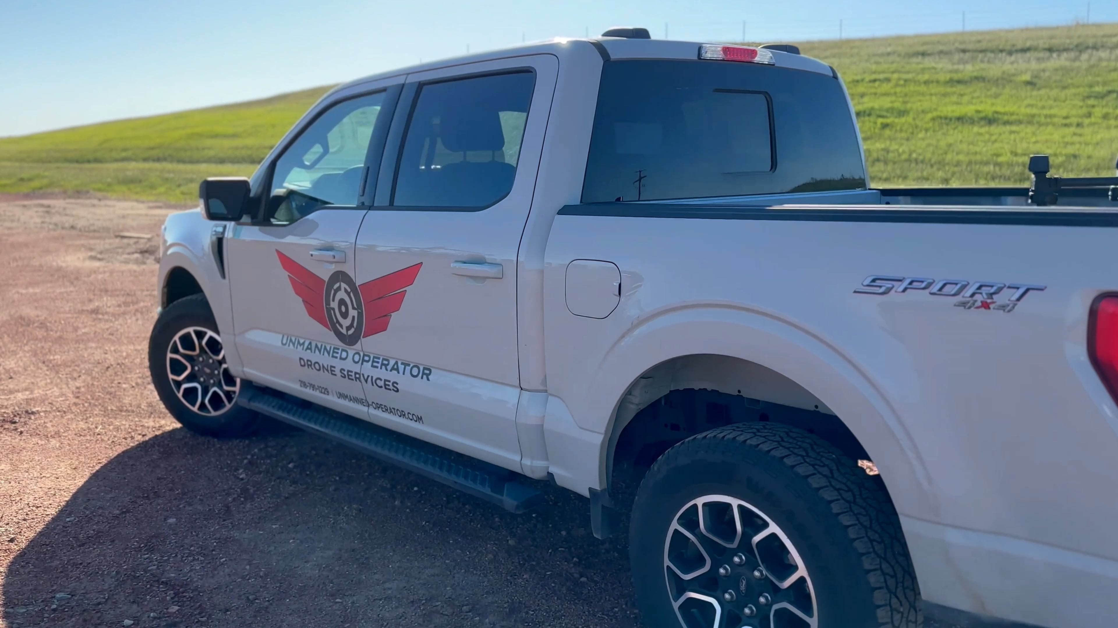
A DIFFERENT PERSPECTIVE. REAL FIELD EXPERIENCE.
From a single property to a pipeline right of way, we capture the detail you need to see your site clearly.
Explore drone services ↗218-791-122901 / WHAT WE DO
Mapping, inspection, and aerial documentation from Unmanned Operator. Tell us about your property, site, or operation and we’ll work with you on a practical scope.
Custom terrain maps and 3D models for sites, buildings, tanks, and facilities. Bring location and asset details into a view your team can use.
Discuss a project ↗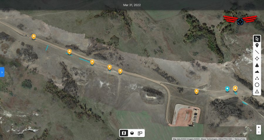
Aerial documentation for pipeline corridors and rights of way. Review route conditions and identify areas that need a closer look.
Discuss a project ↗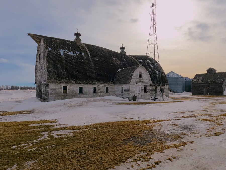
Aerial views and ground-level photography that show a property in context, from the building to the surrounding land.
Discuss a project ↗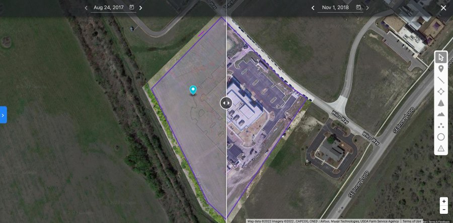
Visual progress reports and repeat site documentation to keep owners, project teams, and investors informed as work moves forward.
Discuss a project ↗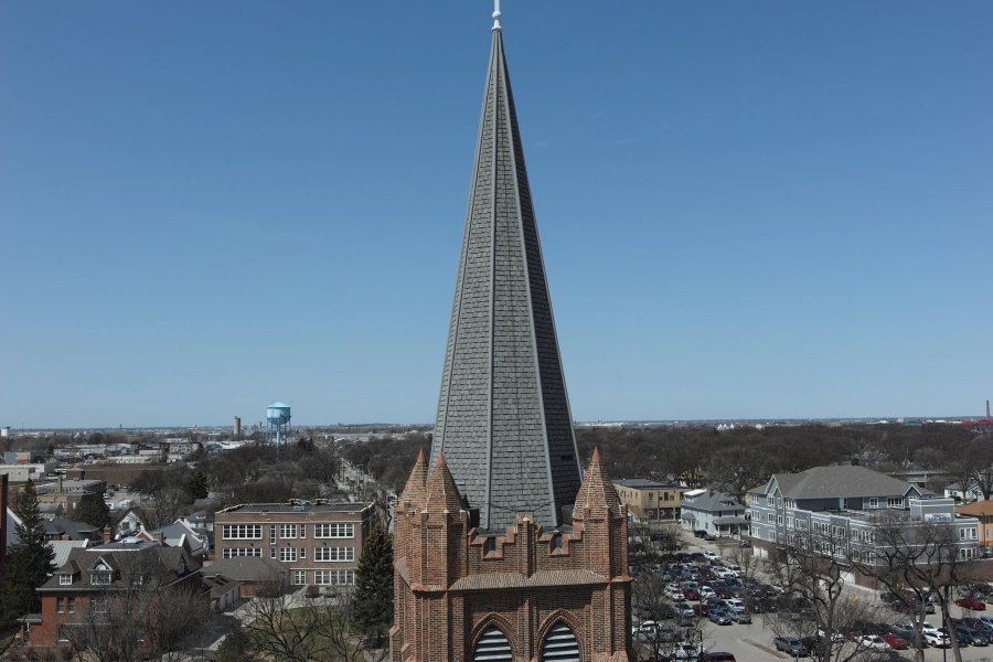
Detailed aerial roof imagery and mapping to support inspection planning, measurements, and project documentation.
Discuss a project ↗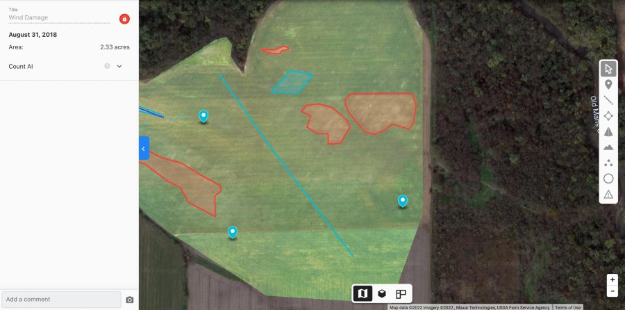
Aerial maps and crop-damage documentation to help growers and adjusters understand affected areas and field conditions.
Discuss a project ↗02 / OIL & GAS
Digital twins for oil and gas production and midstream facilities. Explore the original Unmanned Operator service overviews.
03 / FROM THE FIELD
A closer look at the projects and equipment behind Unmanned Operator.
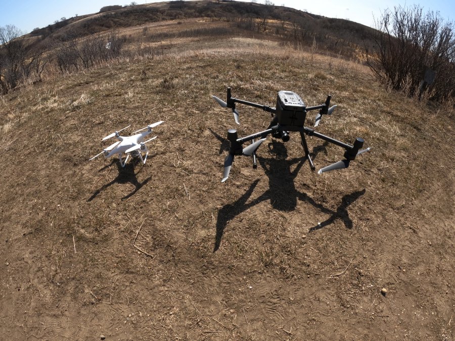
Purpose-built aerial capture starts with the right equipment for the job. Contact us to discuss the imaging and mapping requirements for your project.
Supporting the mission of Badlands SAR with aerial capabilities and a commitment to our community.
Visit Badlands SAR ↗LET’S GET TO WORK
Contact Unmanned Operator for service availability, project scope, and a quote.
Minot, North Dakota, USA
Pricing, deliverables, schedules, payment arrangements, and cancellation or refund terms are provided with your project proposal or software agreement. Contact us directly for billing and support.
04 / SOFTWARE DEVELOPMENT THROUGH OAIL

The software side is OAIL. AI software development, custom applications, and software subscriptions bring field knowledge into tools for energy operations.
Explore OAIL.AI ↗Software designed around business processes, field information, and the workflows your team relies on.
Explore OAIL’s software for safety intelligence, operations orchestration, and edge-ready field workflows.
Contact us for available OAIL plans, features, onboarding, pricing, and subscription terms.