Welcome to Unmanned-Operator.com!
Agriculture

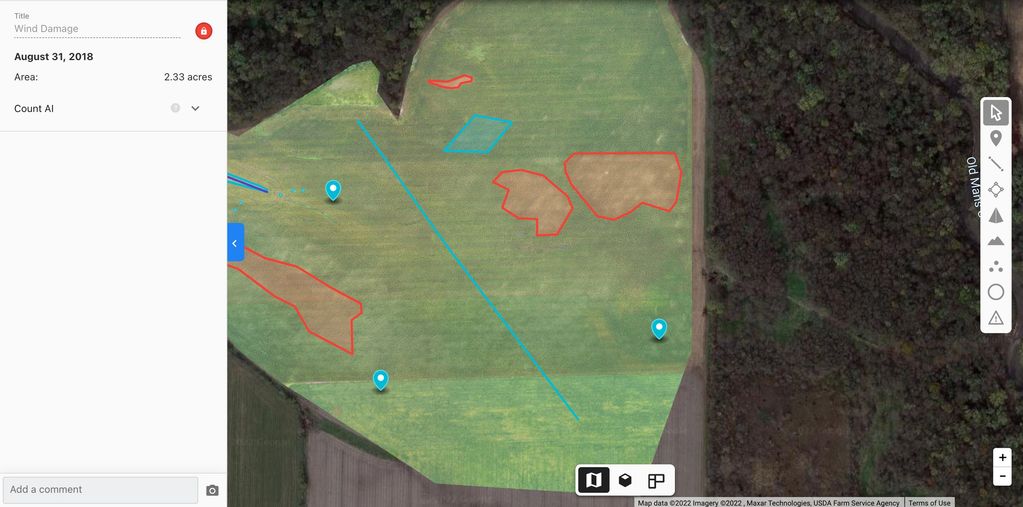
Crop damage surveys can show exact areas affected after a storm. Let us give you the full birds eye view when crop damage happens.

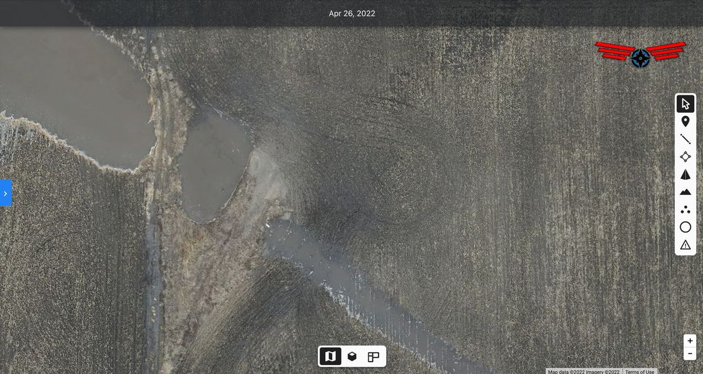
Looking to add some drainage to your field? We can create extremely accurate elevation maps to show exactly what water will do next time it rains.

Our maps can show if a culvert is adequately sized, is the correct height, or if its even in the correct location.
Unmanned Operator Drone Services